I was hiking on my own this Halloween Friday. Map Master was skiing (most likely on rocks), and Wandering Ju had a terrible cold.
When I woke up, I wasn’t motivated to hike by myself until I thought — Hey! I’ll hike Chatauqua over to Gregory Canyon and up to Green Mountain. Gregory Canyon was finally open (since last year’s flood), and the M.O.M.’s haven’t hiked Green Mountain (one of my favorite hikes) for a couple years.
OK — now I’m motivated!
I grabbed Ellen DeBear and packed a lunch and plenty of water. Joy!
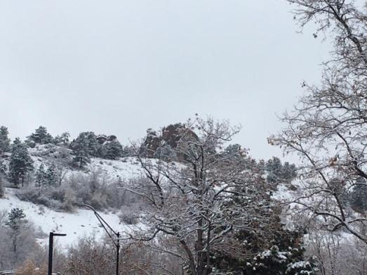
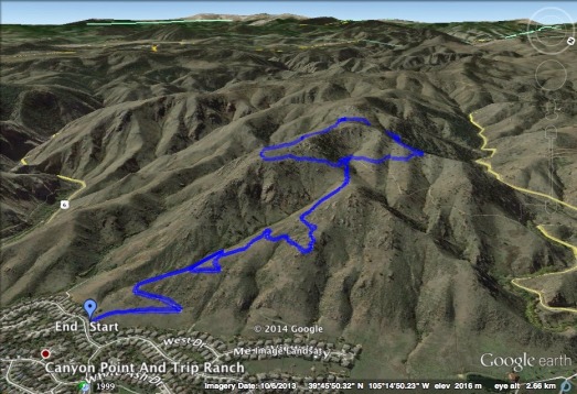
I began my hike at the base of Chatauqua — headed up Mesa Trail — and then over to Gregory Canyon. Chatauqua is usually well populated. Today, however, the hikers were few and far between. In fact, I passed no one on the Mesa Trail heading to Gregory Canyon.

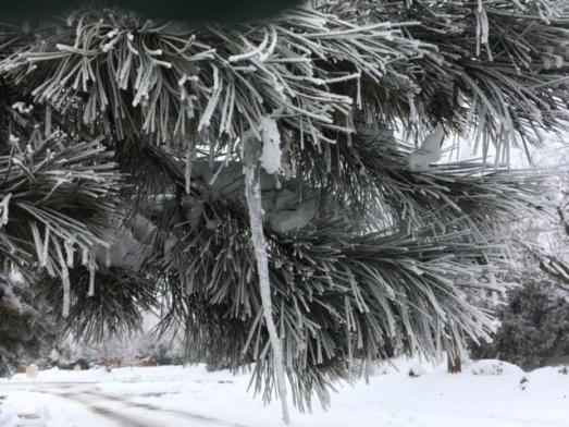
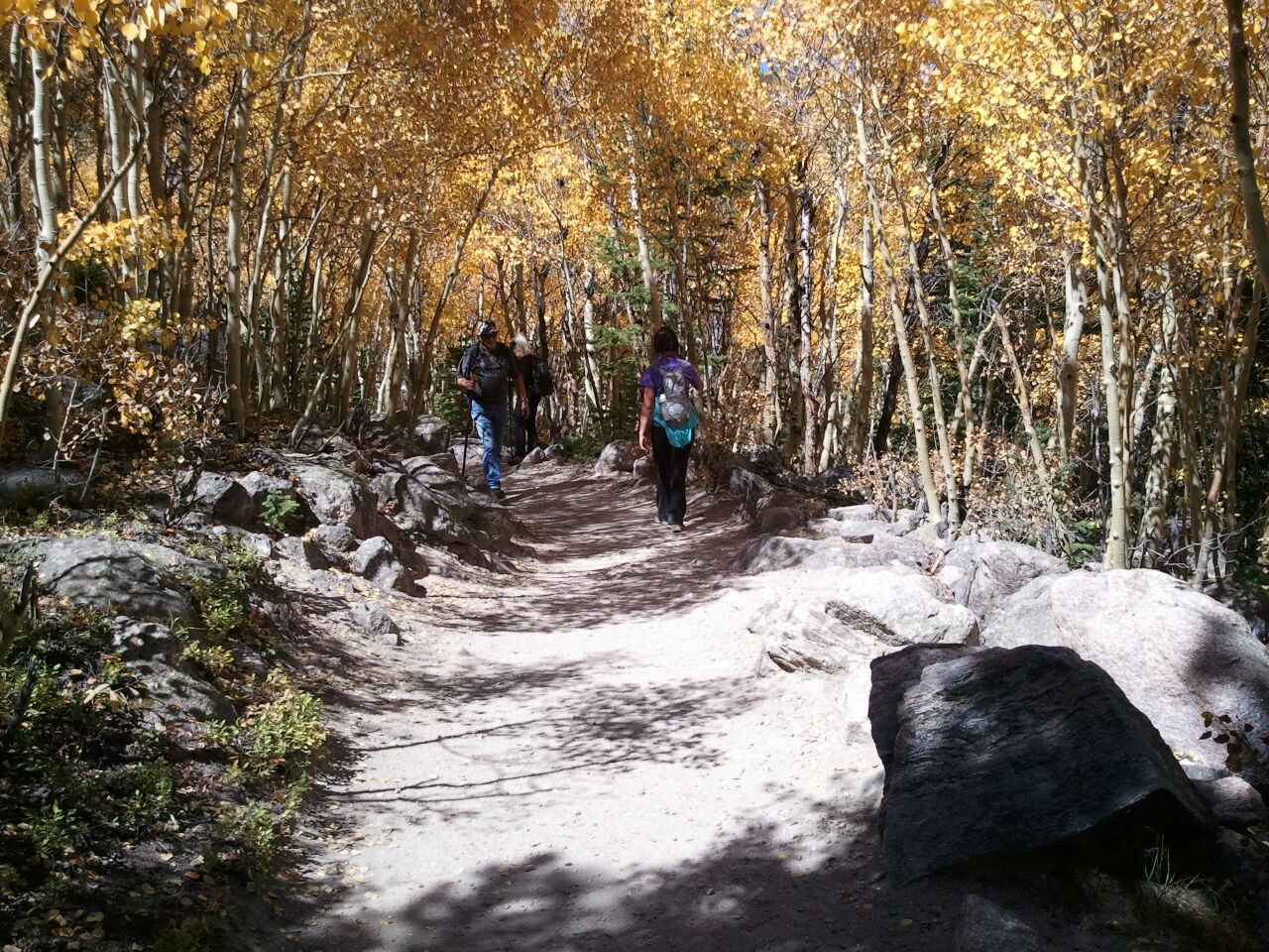
It sure was beautiful!
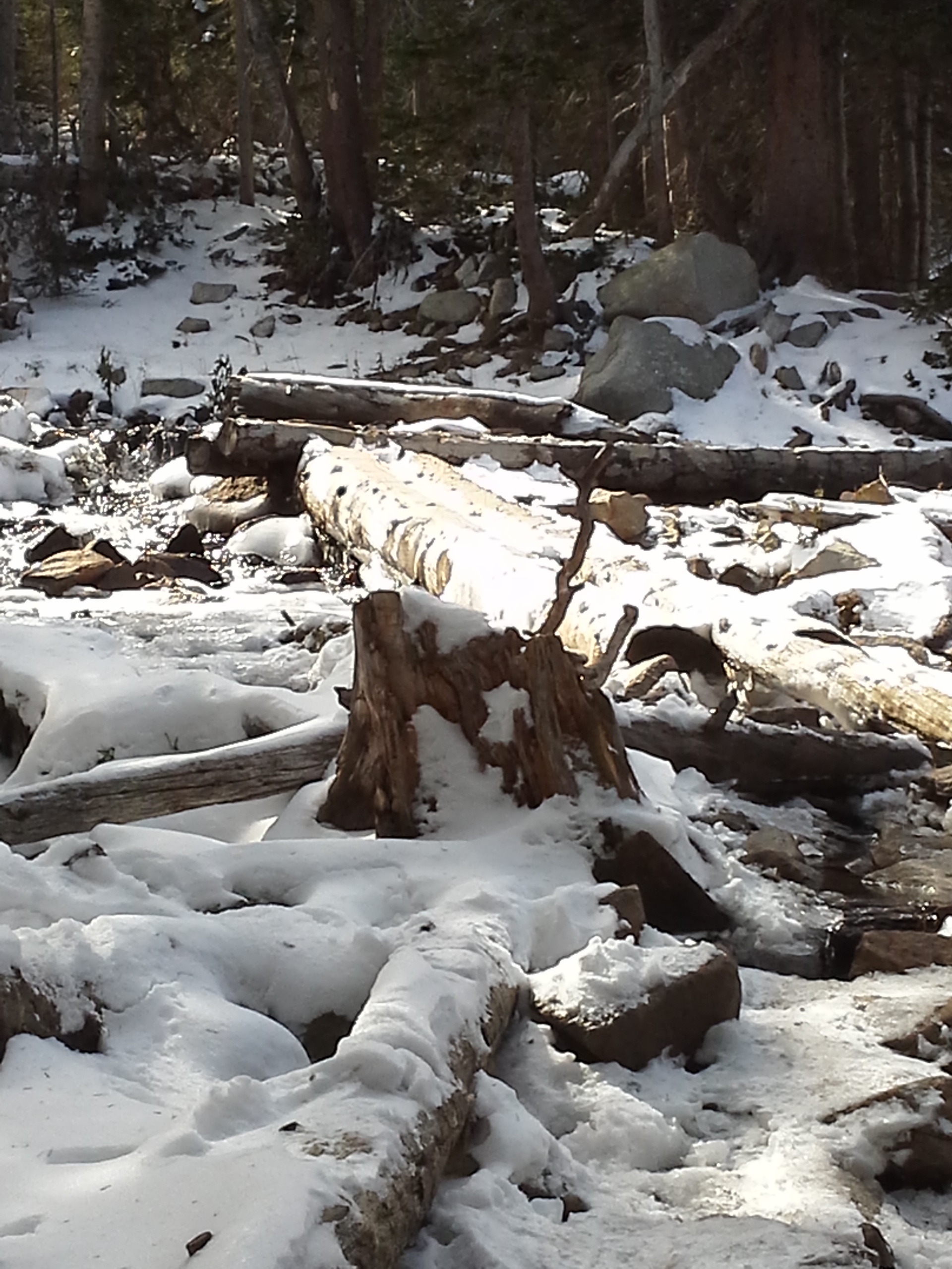
The foot bridge connecting the trail to Gregory Canyon’s parking lot had been washed away in the flood, but someone had placed a few stones around so you could cross the stream.
I wanted to see the flood devastation of the road. It was pretty bad. I think they plan to have the road repaired by year-end 2014. I will be surprised if that happens.

Even a 4WD couldn’t get down this road.
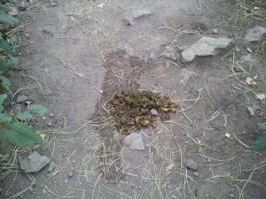
I turned around and headed to the Gregory Canyon trailhead. There in the parking lot was a STEAMING pile of bear scat. STEAMING!

Pile appears smaller than actual size!
Ummmm
A few steps further — a FRESH pile of bear scat.

Again, pile appears smaller than actual size!
Double Ummmm
The Gregory Canyon trail is very narrow with HIGH shrubs on each side — a perfect place for bears to hide.
Now what?!?!?
I went back across the stream and decided to head up the Amphitheater trail to Green Mountain. About a quarter mile in — another “deposit” of FRESH and STEAMING bear scat.
Notice the pee is still wet!
OK — that’s it! Three poops and I’m OUT! I concluded that I was literally a walking vending machine with my egg salad sandwich, granola, grapes and chocolates! I was a bear’s dream!

“Dibs on the sandwich!”
I reluctantly headed back to Chatauqua — disappointed that I didn’t make it to Green Mountain.

I was almost to Chatauqua when I encountered my first hiker — a young, spunky gal from Philly. She wanted to know if she was on the correct trail to Green Mountain. “Sure,” I said, “but there’s a lot of bear scat over there — you might want to turn around.”
Her eyes lit up! “Bears?!?!? You have BEARS here? That’s awesome!!! I would LOVE to see a bear!”
(Um — I like this spunky gal from Philly!)
“Yep,” I said, “but I’d rather run into a bear than a mountain lion!”
“You have mountain lions here?!?!? Bears AND mountain lions? This is like a Colorado Safari!!!”
(Yeah — I like this spunky gal from Philly!)
Nothing I said was going to stop her. She invited me to join her to Green Mountain! It was tempting, but I was so close to Chatauqua, and didn’t feel like adding the extra miles to my hike. (Yeah — I was chicken!)
I really liked this spunky gal from Philly! In fact, I thought she would be a good match for my son. Well — except for two things: (1) Long distance relationships are hard; and, (2) she was about to be eaten by a bear!

You go spunky gal from Philly!
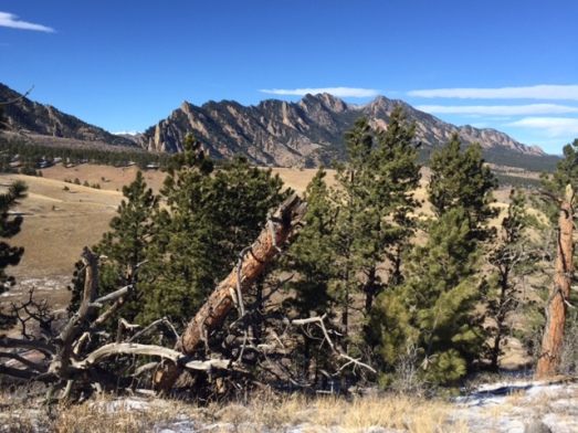
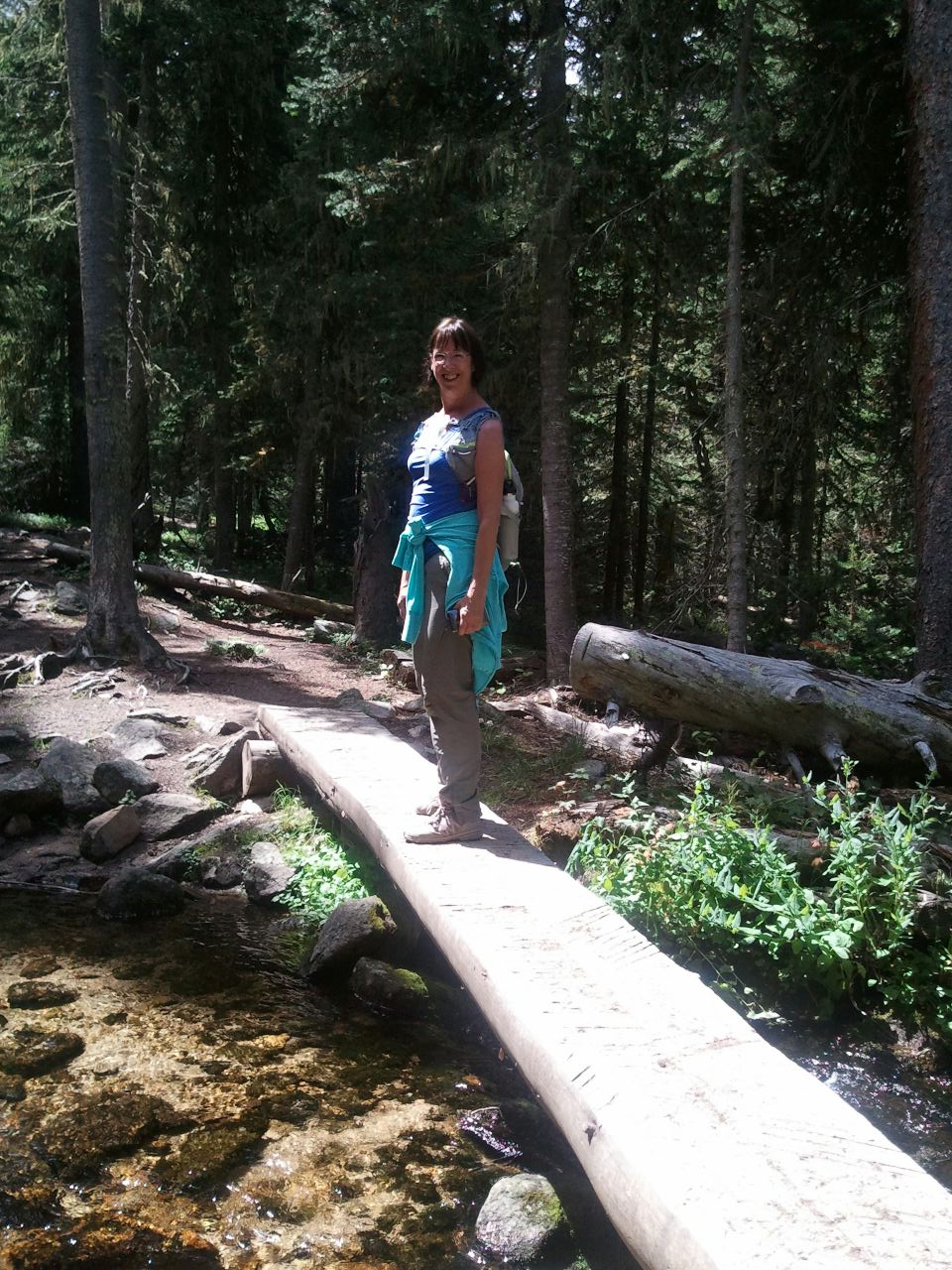
I hiked around the 1st and 2nd flatirons of Chatauqua for awhile. Ellen and I found a perfect lunch spot and shared chocolates …..

….. and ended our hike sans reaching Green Mountain.
I guess the spunky gal from Philly made it, because I didn’t hear about her in the ten o’clock news. What I did hear on the ten o’clock news, however, was that at the same time I was hiking around the 1st and 2nd flatirons, there was a naked guy (high on ‘shrooms) hiking the same trail.

How about THAT spunky gal from Philly! We’ve got bears, mountain lions, and stupid naked guys!
Welcome to Colorado!