Our last hike of 2016 was on Friday, December 30th. It was a beautiful (but somewhat windy) 60 degrees. A perfect way to say goodbye to 2016.
From the M.O.M.s — Happy New Year!

Our last hike of 2016 was on Friday, December 30th. It was a beautiful (but somewhat windy) 60 degrees. A perfect way to say goodbye to 2016.
From the M.O.M.s — Happy New Year!
….. sang the Rolling Stones.
I wanted to be hiking in the mountains this past Friday.
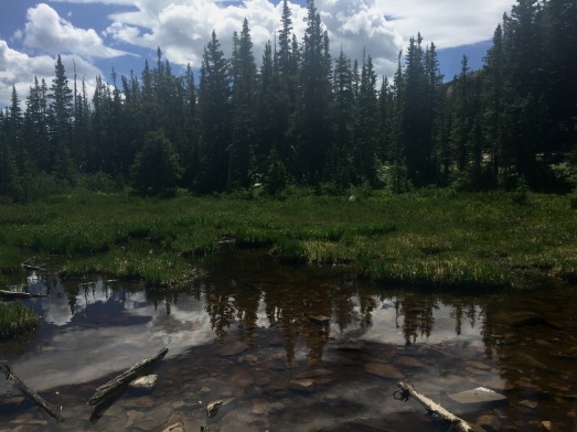
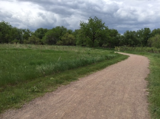
But instead I was hiking another section of the Coal Creek Trail/Dutch Creek Open Space.
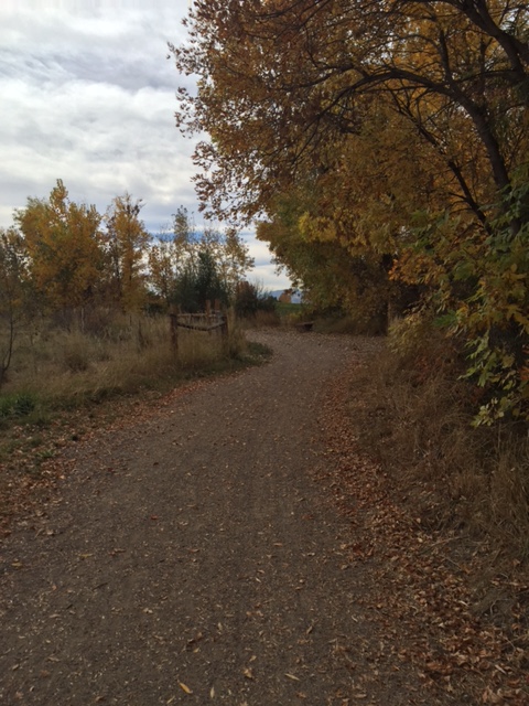
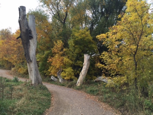
One more week of hiking flat trails and if my x-ray shows my fractured ankle is healed, I’m heading into the mountains.
With my ankle brace, of course!

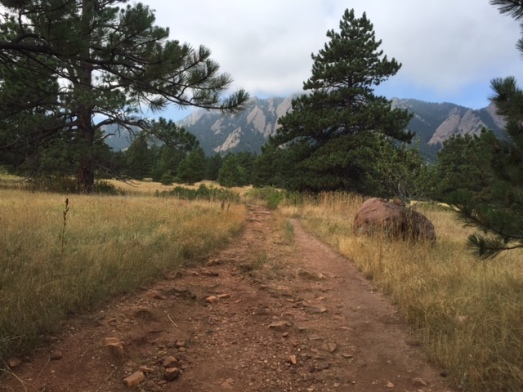
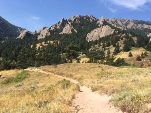
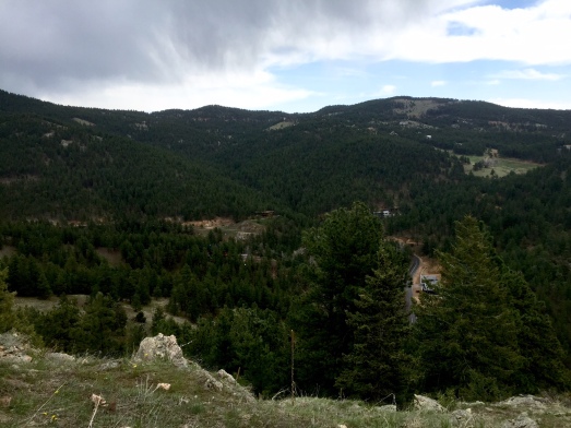
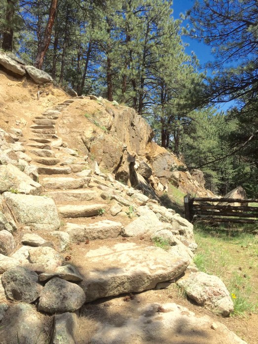
It was a beautiful cool, sunny Friday, September 23rd. My friend and I decided to meet in Golden and hike Mount Galbraith. Mount Galbraith has beautiful views into two canyons and the City of Golden. Perhaps we might see some cliff-nesting eagles, a few hummingbirds, or perhaps even a big horn sheep. Yay!
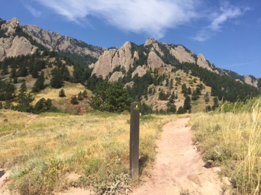
You begin the hike on the Cedar Gulch trail and at 1.3 miles reach the Mount Galbraith loop trail. A description of the hike said the Cedar Gulch trail is a “steady, moderate climb with views into Golden Gate Canyon.” The description also said, “Take it easy at the beginning of the trail. Hiking Mount Galbraith is most challenging at the start and the rest of the trail is more peaceful and relaxing after the initial incline.”
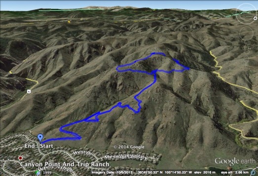
Aerial view of Cedar Gulch to the loop
Doesn’t that sound nice? Peaceful and relaxing. A peaceful and relaxing hike. It seemed like a nice way to end my busy work-filled week. Peaceful. Relaxing.
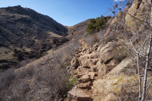
The description was correct. Cedar Gulch trail had lots and lots of stone stairs and rocks.
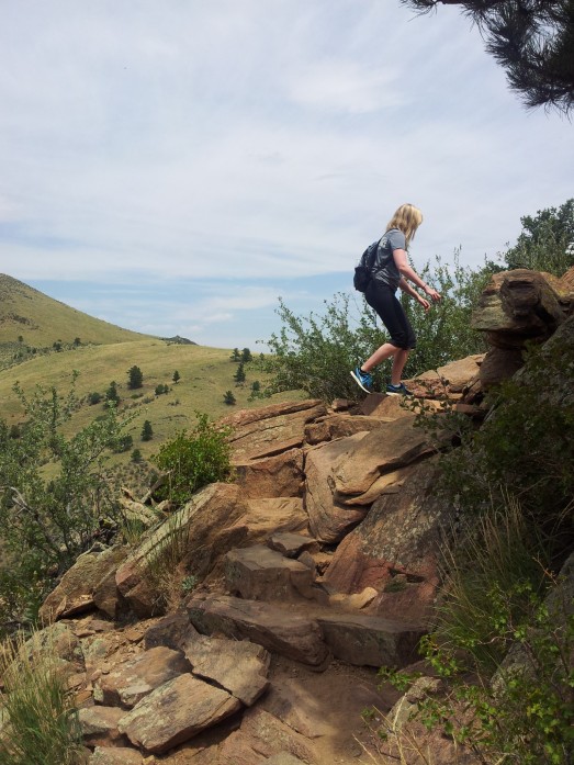
Random hiker
Dottie and I were quickly making our way to the loop intersection. We were so close to the 1.3 mile mark (1.08 miles to be exact). The trail was skirting the side of Mount Galbraith and was sloping slightly to the left. On a flat, dirt-packed part of the trail (the stone stairs behind us) I placed my left foot down and it felt like I folded my foot in half at the ankle.

I thought I could walk it off. This wasn’t going to stop our peaceful and relaxing hike. I was determined to rest for a minute and forge ahead.
But after five minutes, I still couldn’t walk. We had to turn around. And you know what that means? I now had to climb down the stone stairs with only one working foot.
With Dottie’s help (a lot of hand holding) and some butt scooting, we made it down. I drove to my friend’s house where we removed my hiking boot and immediately called the doctor’s office and scheduled an appointment.
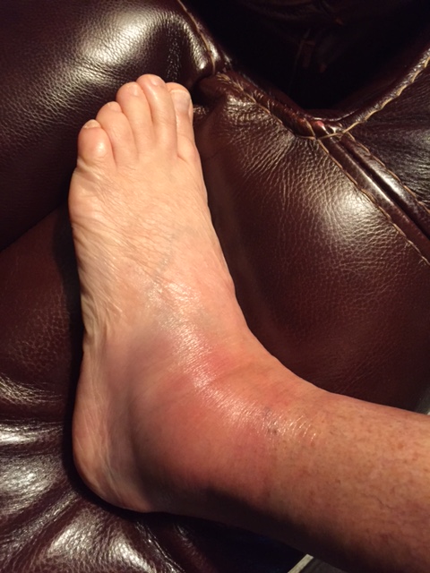
It became way more colorful and swollen the next day.
The doctor asked lots of questions.

Then she requested an X-ray.
Doctor’s Diagnosis: Fractured ankle bone.
My Reaction: But can I still hike?!?!?
Treatment: Rest, Ice, Compression, Elevation (the RICE treatment) and wear a big old fat sweaty boot for 2 weeks, then an ankle support for 6 weeks.
My Reaction: How am I going to hike in a big old fat sweaty boot?!?!?
Doctor’s Recommendation: No hiking for 4 weeks.
My Reaction: WHAT?!?!? No hiking for 4 weeks! But I haven’t missed one Friday hike this whole year. (The doctor wasn’t a bit concerned with my pristine 2016 hiking record.)
So — Dottie and I didn’t make it to the peaceful and relaxing Mount Galbraith loop trail. We saw no hummingbirds or big horn sheep (although I think I did see some stars!). But I can tell you that my first hike back on the trail will be Mount Galbraith.
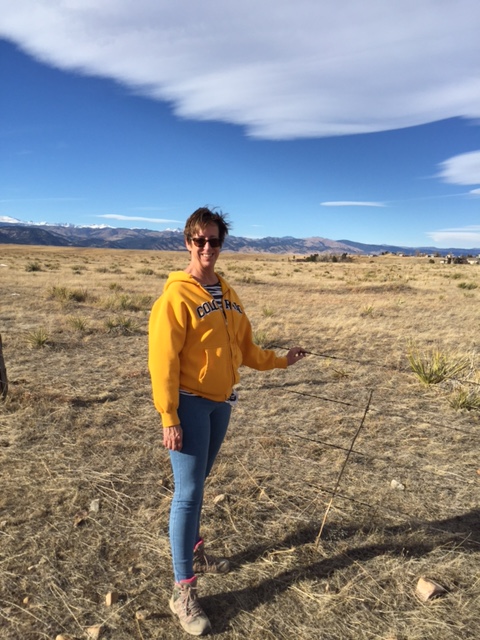
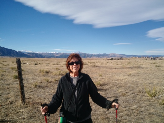
Update: Don’t tell my doctor, but last Friday was such a beautiful day that I did get on the Coal Creek trail and hiked a little over 3 miles. The Coal Creek trail has zero elevation, packed gravel, and a beautiful view of the foothills as you head west. It felt so good to be outside. I walked very carefully with my poles (and of course, with my big old fat sweaty boot).
It wasn’t Mount Galbraith, but it was outside and it felt great!
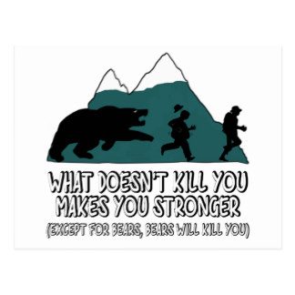
This is my tenth year of passionately hiking our beautiful Colorado Mountains. In those ten years, we’ve been charged by a mother bear — been forced down the trail by a bear having lunch by a tree — and had two little bear cubs running parallel to our trail near Gregory Canyon.
Today I was hiking solo. The last time I hiked the Kohler Mesa trail was September 2007. Time to reacquaint myself.
The trail begins with a rather steep stair climb up a hill. It levels off at the top and connects with the Mesa Trail. The views were beautiful.
At the .83 mile mark — Bear Scat!
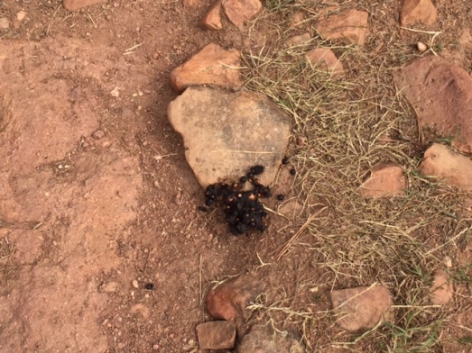
My head said, “Run Bear Scout! Run back to the car! Go home! Make some hot chocolate and watch a movie!” My Bear Scout head said, “Nah — it will be fine. Keep hiking.”
Besides — bears don’t want to eat me. They want to eat the berries on the numerous berry bushes I passed.
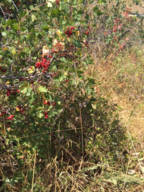
Even I was tempted to grab a few.
I stopped to marvel as a Gibbifer Californicus was diligently pushing a clod of dirt up the trail. It was hysterical. He would travel about 2 inches, then the dirt clod would roll over him and he would begin again. After numerous attempts, his buddy came to help. And yup — the clod pushed them both down the trail. I really wanted to help, but I wasn’t exactly sure of their destination.
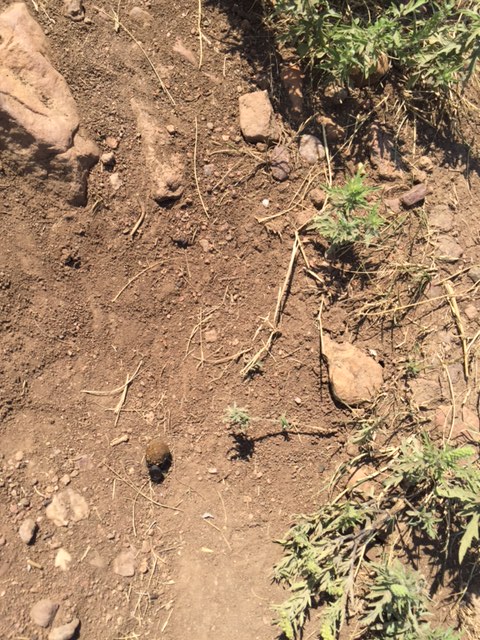
The dirt clod was three times his size.
I continued on the Mesa Trail, and took it all the way to NCAR; then turned around to complete my Friday hike.
I arrived at the intersection of Mesa Trail and Skunk Canyon Trail. It looked inviting …..
So down the trail I went. I was about 10 minutes down the trail, rounding a slight bend when just 4 feet from my head coming from the bushes I heard a loud, grumbling sound. Now — as my faithful blog followers know — I have a rather active imagination. This was NOT my imagination. I looked towards the bushes and saw either the hind end, or shoulder of a black bear.
Let me answer the questions running through your heads right now …..
What did I do?!?!? I backed up the trail, but the bear did not move. (I really do think I disturbed his/her afternoon nap. And you know how you hate to be interrupted while napping!) When I was about 10 feet away, I turned, and walked VERY fast up the trail. When I was about 20 feet away, I ran like hell and got back to the Mesa Trail in record time.

OK — no more diversions. Back to the car!
Well — one more diversion. Near the Kohler trailhead is a short path to Green Mountain Cemetery (where I was NOT going to end up this Friday). A quick trip to the cemetery …..
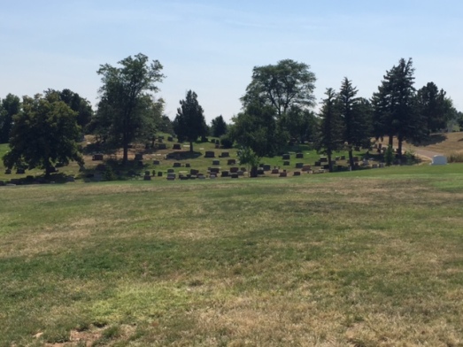
…..then back to the car. On the way back what do I see? More …..
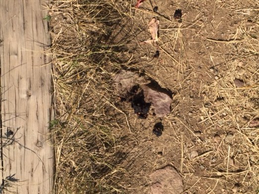
BEAR SCAT!!!!
I gotta get the heck outta here and make some hot chocolate and watch a movie!
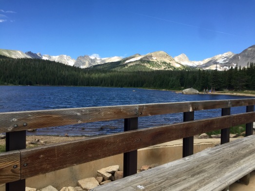
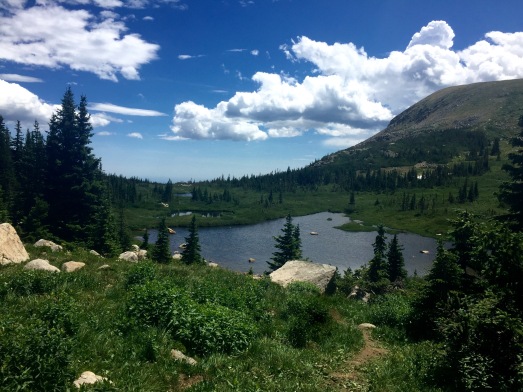
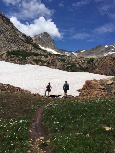
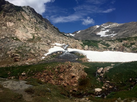
After two attempts (both in 2014) to hike to Blue Lake in Indian Peaks Wilderness, I finally made it on Friday, July 22nd. Mountain Mary, Precious Sam Survivor Man and I sailed past Mitchell Lake, hiked and climbed through rocks and creeks, and made it to Blue Lake. It was definitely worth the wait! Mountain Mary has proclaimed the hike to Blue Lake as her favorite hike of the summer.
It has all been documented in pictures below. Enjoy!
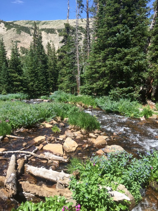
A cool 62 degrees begins our hike …..
Heading up the trail.

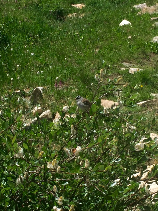
Beautiful birds lovin’ the 11,000+ altitude.
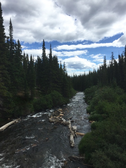
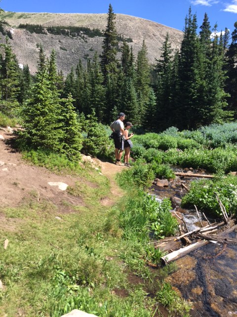
I had forgotten about having to cross these logs over the raging creek.
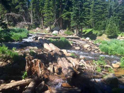
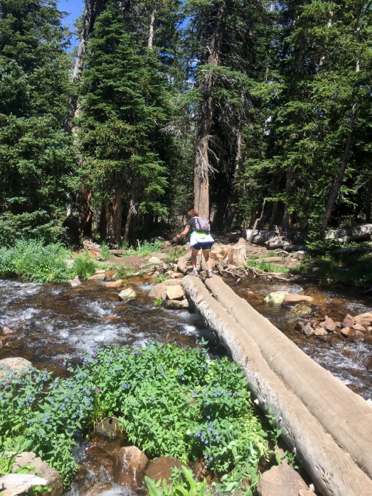
I look hunched over because I WAS! I thought I could cross over better (and not fall) if I was closer to the logs. My preference would have been to CRAWL over them.
We saw two HUGE moose. Here’s a picture of one of them. Can you see him? Yeah — me either — but trust me — he is there. He’s the brown dot-like thing in the middle of this picture.
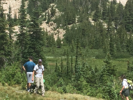
He looked like this!
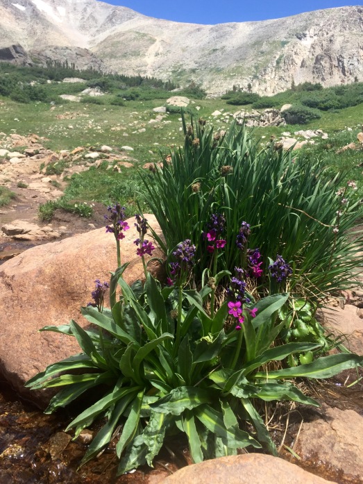
I don’t think Mountain Mary and Precious Sam Survivor Man believed me when I said there was still snow up there …..
….. and flowers.
We’re getting closer.
And there it is — Blue Lake — complete with its’ own waterfall.
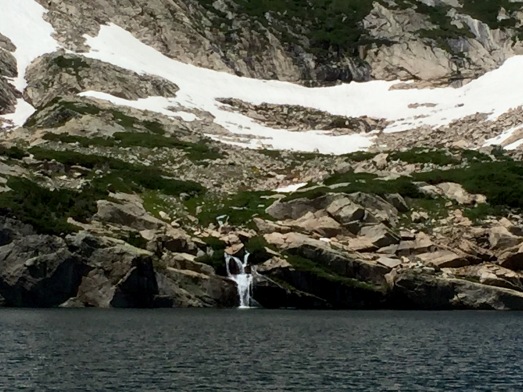
Made it!!!! Now — to hike back down and across those darn logs!
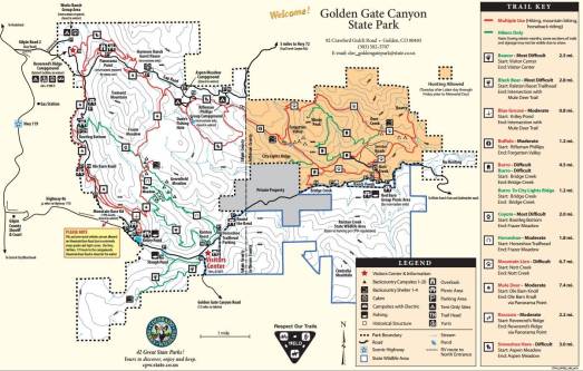
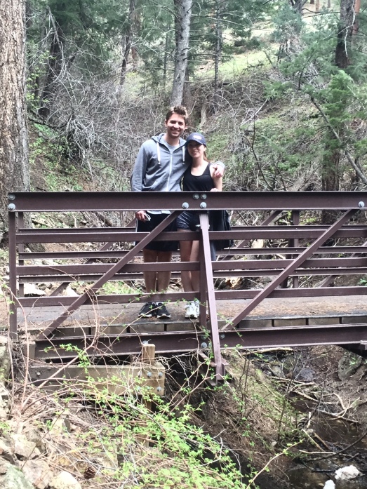
On Friday, June 17th, Map Master, Mountain Mary, Precious Sam Survivor Man and I hiked the Burro and Mountain Lion trails at Golden Gate Canyon State Park.
Precious Sam’s moniker should really be “Wilderness Whisperer.” On our hikes he has caught (among other things) tadpoles, frogs, lizards, snakes, and grasshoppers. Well — just about anything that he can catch. But don’t worry — no critters are harmed, and all are released.
So when Precious Sam Survivor Man hikes with us, it’s certain that we’ll be seeing lots of bugs! Etc.

Shortly after hitting the trail, we did begin to see remnants of wild life.
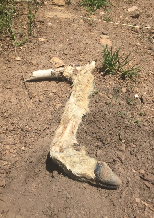
Um — that was not a catch and release!
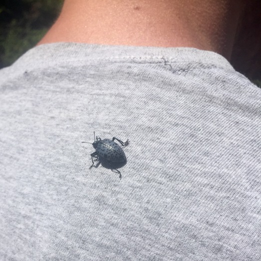
The Wilderness Whisperer attracts a Gibbifer Californicus
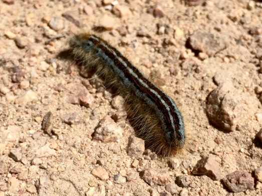
A strolling caterpillar
We hiked through some dense lodgepole pines and about 1.5 miles in we arrived at Forgotten Valley and the Tallman Homesteaad — complete with two front porch swings and a view of a small lake.
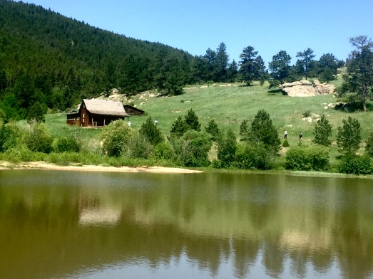
You can’t see the swings on the front porch — but they were extremely comfortable
*********************************************************************
HISTORY LESSON: In 1870 Anders Tallman emigrated from Sweden to the U.S. In 1882, he constructed a frame ranch house by moving a one-room schoolhouse to the property and adding a kitchen. The area was so remote it was referred to as Forgotten Valley. Other additions to the schoolhouse were made later. Tallman married, and they settled down to a ranching life at the cabin.
Tallman’s children all married other Swedes and eventually his granddaughter-in-law, Ruth, and her husband John Wickstrom, took over the ranch. After John’s death in 1951 Ruth moved away. The absentee owners neglected this remote property and in 1970 it became part of Golden Gate Canyon State Park.
*********************************************************************
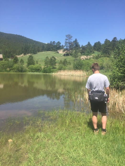
Meanwhile, Wilderness Whisperer was trolling the lake looking for salamanders. Why? Because he’s a boy? I don’t know.
“Hey — I’m right behind you!”
Sad not to have found a salamander, he decides to take home a girlfriendmander. Yeah — that’s stretching it, huh? I couldn’t think of anything that rhymes with salamander.
The Burro Trail was steep, but what goes “up” must eventually go “down.” After steep climbs and intervals of mixed forest and open hillsides, we began a steep descent. Whew!
We found a teepee left by the Native American Indians (or an ambitious camp group) …..
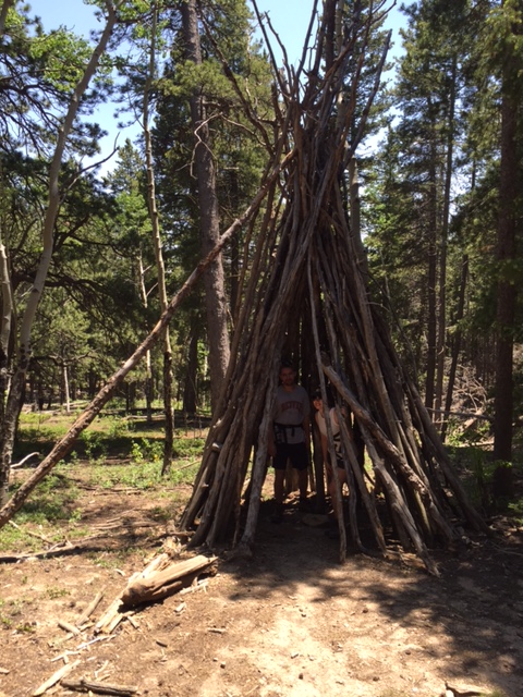
“Hey Chuck — I think we found cheaper rent for Mountain Mary.”
After 6.62 miles, we arrived back at the trailhead — hot and dusty.
Looks like all those “bug” sightings and salamander searches just plum wore out Precious Sam Survivor Man a/k/a Wilderness Whisperer.
Nite Nite Wilderness Whisperer! Sweet salamander dreams!
The weather man lied. He said it would be pouring rain Thursday night into Friday morning and let up Friday afternoon. Ump! So I slept in a bit Friday morning (as the sun was shining), and decided to skip the mountains and hike locally. Ump!

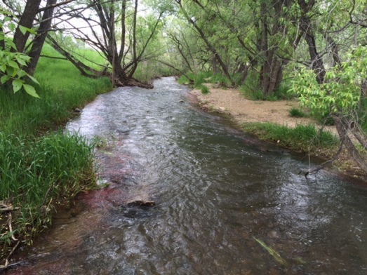
Having wasted enough of the morning, I quickly downed some oatmeal, climbed into the Bear Scoutmobile, parked at the Coal Creek trailhead and headed east. The M.O.M.s have never hiked the east end of the trail.
Someone constructed a swing over the creek. Looks fun — but how the heck do you get on it without getting wet?!?
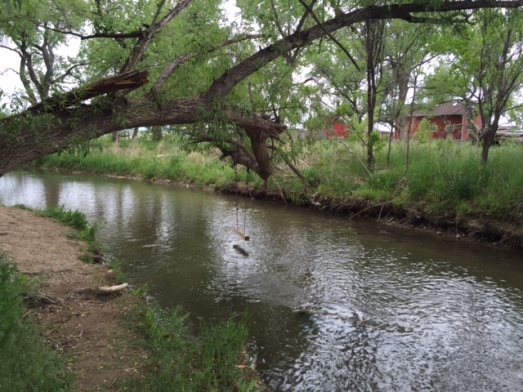
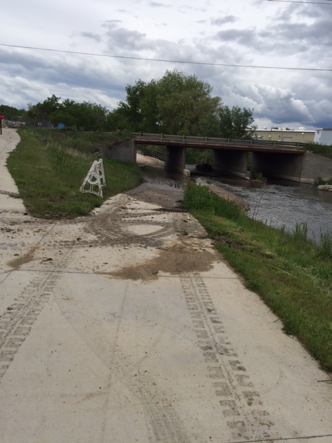
The creek was running high.
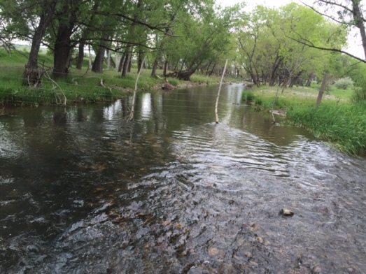
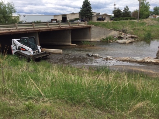
At one point, it overtook the trail. A crew was trying to move the water and mud.
A couple miles in, I reached the Erie intersection.
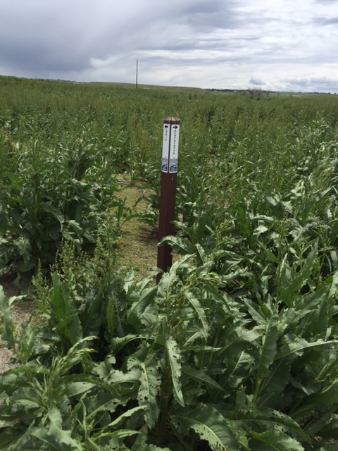
The trail connection is fairly new. A quick detour to the Overlook Trail showed the year the trails were started (1992) and the year of completion (2013).
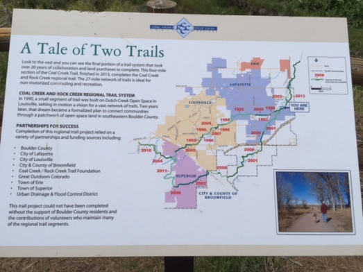
Thank you Trailblazers!
I chose to take the trail to Flagg Park. Oh Yay — a park! Maybe get in a little swinging (without getting wet), or a little sliding. You know — a little “park” fun.
Look how desolate!
No way I’m using that outhouse — I might disappear and never be seen again!
“Let’s go to Flagg Park,” said no one ever!
I turned around and headed back to the Bear Scoutmobile.
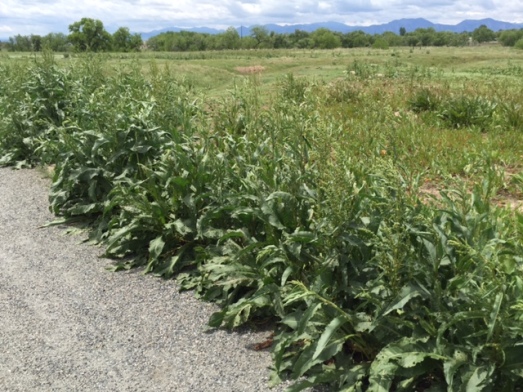
Most of the trail was lined with enormous weeds. They were almost as tall as me! Forget about the Zombies coming for you — worry about these Weeds!
The crews had been working on that mud mess while I was hiking to Flagg Park. They told me, “It’s OK to use the trail now.”
Seriously?!?!? There’s still 6 inches of mud there. I detoured to the street.
It was a good trail to explore on this Friday afternoon. Oh — and Mr. Weather Man — not a drop of water fell from the sky.
My hike last Friday was a short one (5.38 miles) as I had my PAMG responsibilities in the afternoon. PAMG? Professional Assistant to the Mother of the Groom. PAMG, for short. Map Master’s son was getting hitched on Saturday and today was the rehearsal dinner.

I didn’t really have time to wander up into the mountains, so chose a few trails close to Broomfield. So close — they were actually IN Broomfield. And thank goodness I started early, because it was a HOT day!
Sometimes you head out on a trail just expecting to clock a few miles and return home. But that sounded boring to me. I thought maybe I could make this a tad more interesting by just paying attention to my surroundings.
Ready. Set. Hike!
I need Map Master’s Wildflower Guide to give you a name, but let’s just say there were lots of very bright yellow flowers near the side of the trail …..
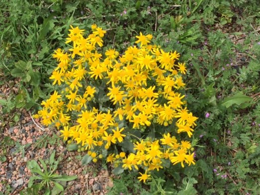
….. that turned into a field of bright yellow flowers.
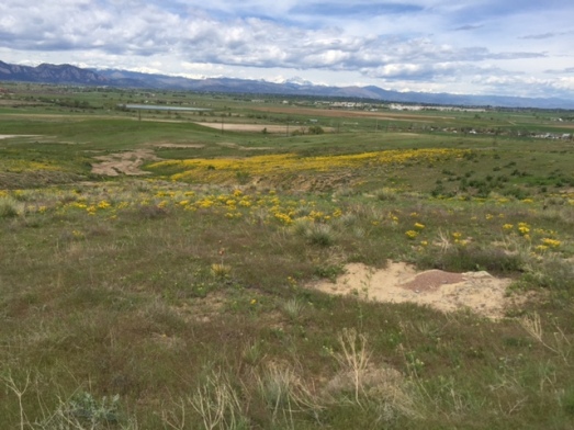
Wow! Right here in Broomfield!
In fact — there were several beautiful wildflowers along the trail …..
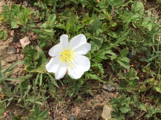
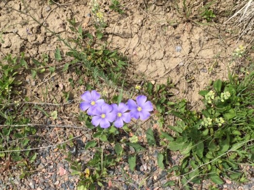
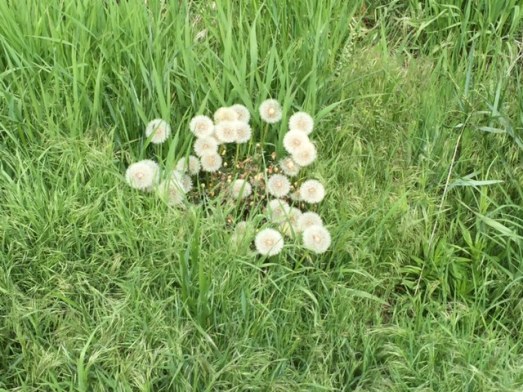
Hey! How did those dandelions get in there?
….. including a field of baby’s breath.
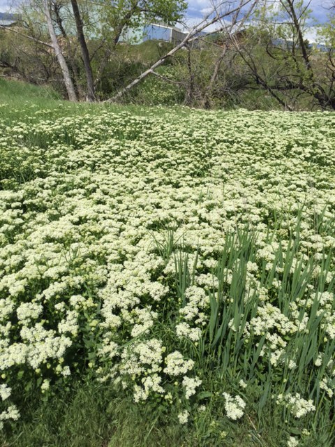
Don’t people pay big bucks to get these in their flower arrangements?
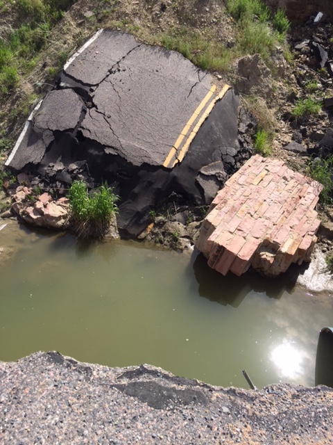
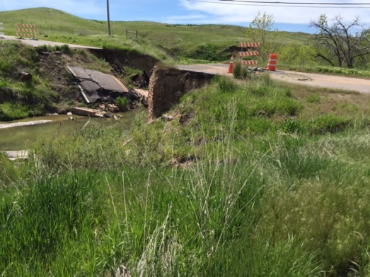
About half way into my hike, I passed by the Broomfield bridge that washed out with the flood of 2013. My guess is they are never going to fix our little bridge.
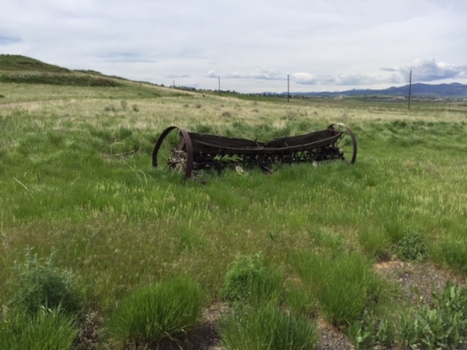
The Imel trail provided lots of interesting things. First, an old farm hay rake.
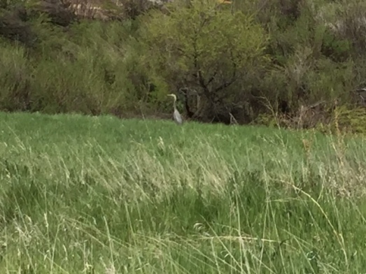
Something with HUGE wings flew right by me. It turned out to be a Heron.
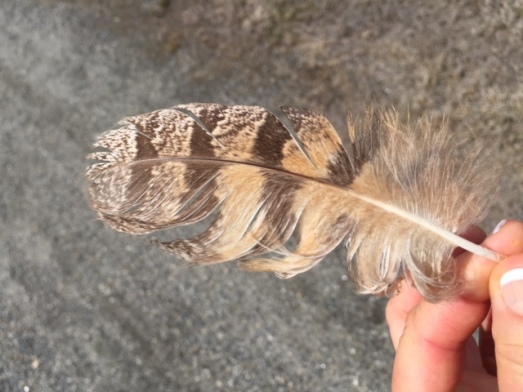
Lying on the trail was a beautiful owl feather. Everyone knows that finding feathers on the trail is good luck (I might have made this up). Saturday I passed the feather on to Map Master’s son.
And, finally, I saw a little mouse napping right in the middle of the trail.
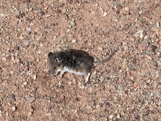
Shhhhhh — I’m dead!
Time was running out, so I turned around to get started on my PAMG duties.

Map Master! I was happy to help you, and honored to be your PAMG. Of course — there are some perks for being a Professional Assistant!

Oh yeah — I’ll definitely work for cupcakes!
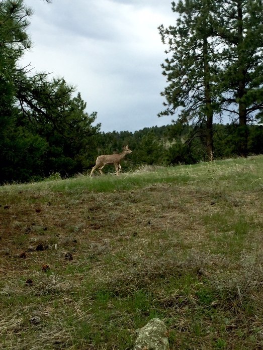
My niece Courtney (a/k/a Mountain Mary) and her boyfriend Sam (a/k/a Precious) were visiting for the week. I took them to the Betasso Preserve and when we were done — we had hiked 8.69 miles. Wahaha
It was an absolutely gorgeous day! We were able to hike in shorts and T-shirts.
I’ve hiked Betasso many times, but on this day, the Betasso wildlife was all around to welcome us. (I attribute this to my niece’s keen observation skills.)
We saw deer …..
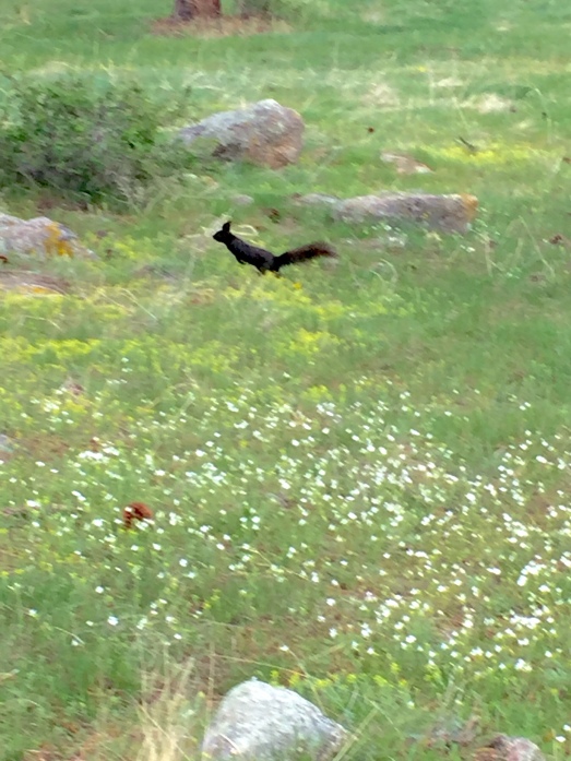
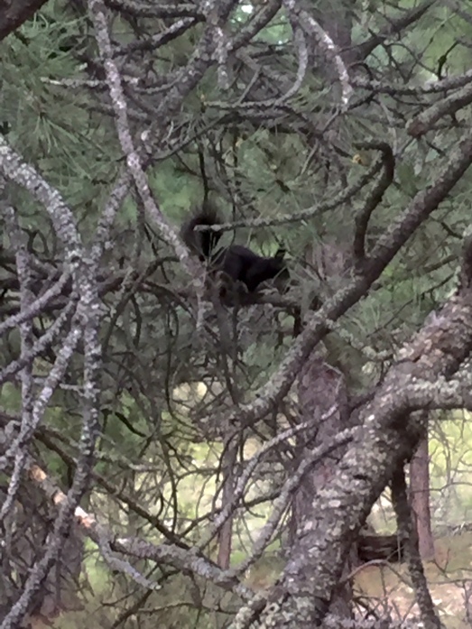
Hopping Abert squirrels …..
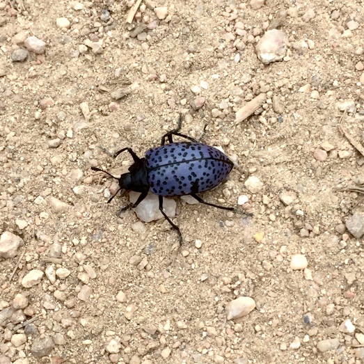
A Gibbifer Californicus bug …..
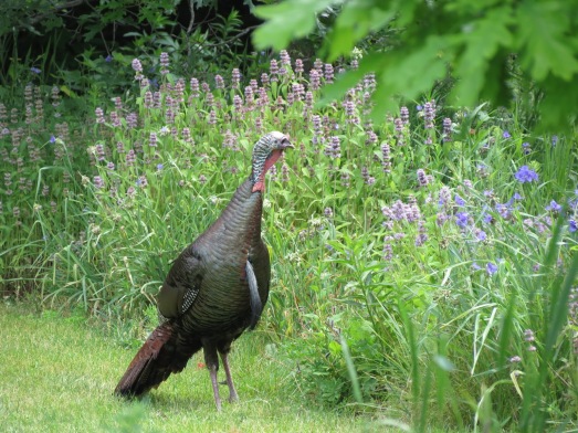
And one wild turkey …..
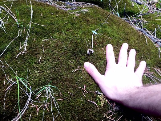
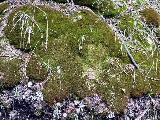
We also saw the most beautiful moss …..
A huge sinkhole (that Mountain Mary just HAD to explore) …..
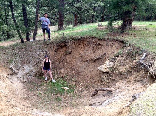
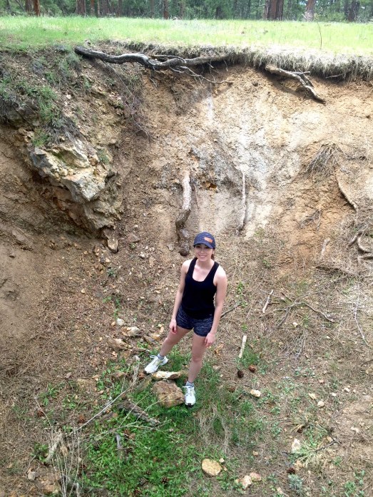
And an old car that rolled down the mountain many decades ago …..
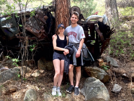
I would love to know the story behind this!
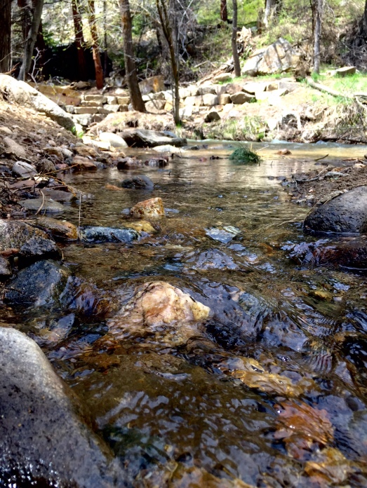
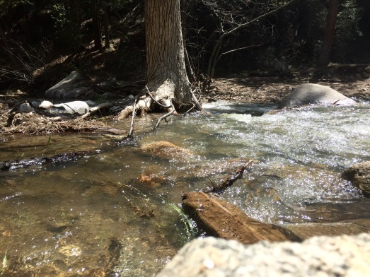
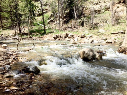
Lunch (compliments of Yours Truly) was consumed next to a beautiful stream …..
As we left Betasso, Mountain Mary and Precious said (and I quote) — “We’re going home, taking a long shower, and a nap!”

Guess I wore those youngsters out! Youngsters droll and Aunties rule! Wahaha
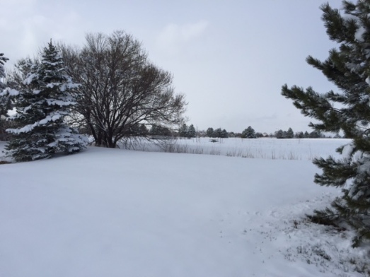
Here in Broomfield, we have enjoyed over a month of beautiful weather. Several days in February we actually hit 70 degrees. Last week my daffodils started blooming and the tulip leaves burst through the ground. Ah — spring has sprung.

And then winter crept in Thursday night bringing 8 inches of snow to Broomfield, and over a foot of snow to the foothills. Not just any snow — Heavy Wet Snow! Perfect snowman snow!

“Sorry daffodils and tulips.”
Now what? Map Master was working this Friday, so I was on my own. I really didn’t think it was a good idea to head solo to the foothills and get stuck in the snow. I decided to shovel our walks and driveway. Done. I then moved on to the neighbor’s walks and driveway. Done. I don’t mean to brag (which, of course, is what I’m doing), but I have shoveling down to an art. If there was a snow shovel competition, I’d enter.
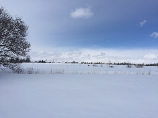
After shoveling, the sun came out and it was above 20 degrees, so I decided to hike around Broomfield. It was turning out to be a beautiful day.
I hiked a few Broomfield trails …..
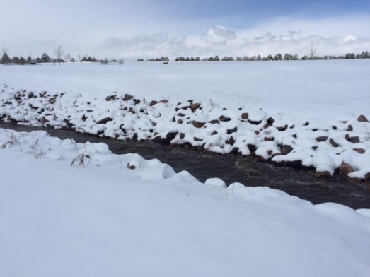
I hiked beside a Broomfield stream that I didn’t even know existed …..
I just kept walking the trails, the streets, the sidewalks, and crossing busy intersections. It was nice to be outside. While walking one of the streets, I came upon a senior citizen shoveling her walks. “Please — allow me. I am a snow shovel pro.” I said. And in record time I finished shoveling her sidewalk.

TA DA!
Maybe after the next snow storm, I should walk with my shovel and a cape!

Bring it on!
I wasn’t able to hike the foothills, but managed to get in a good trek (and a little cardio) around Broomfield.
When I got home I checked my Facebook page. You know how everyone posts pictures of their patios and homes buried in snow, and then there’s that friend in Florida that posts, “Oh that’s too bad. It’s 80 degrees here.” Don’t you just hate that?!?!?